


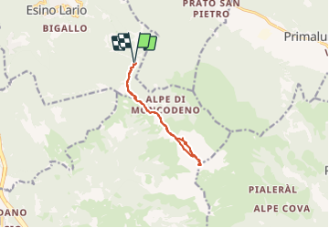

6.1 km | 14.9 km-effort

User


FREE GPS app for hiking
 SityTrail
IGN / Geographical institutes
SityTrail World
The world is yours!
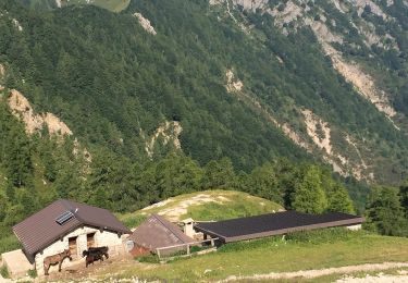
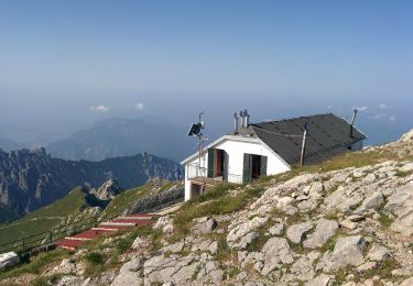
Trail Walking of 11.5 km to be discovered at Lombardy, Lecco, Esino Lario. This trail is proposed by Gouze13.
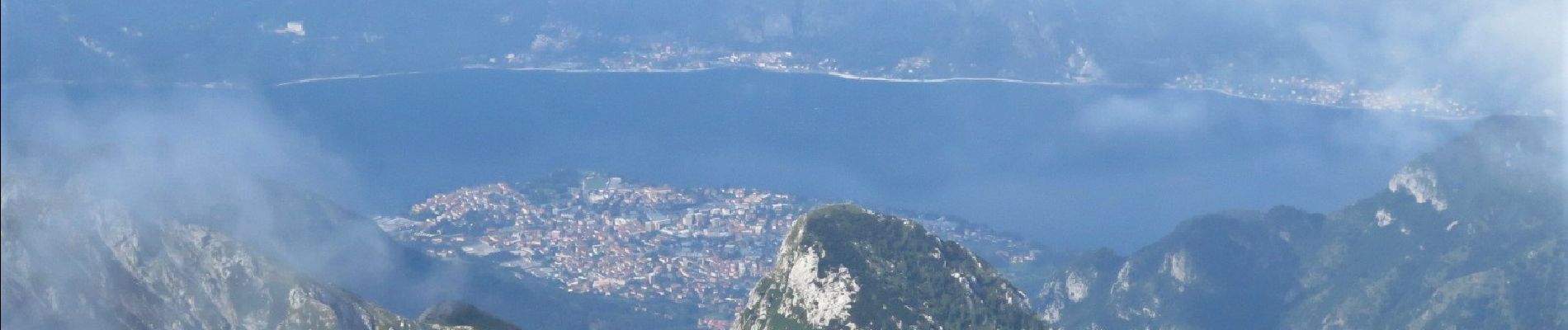
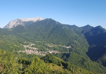
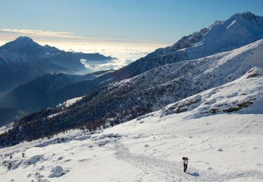
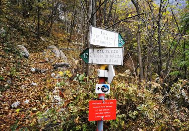
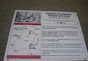
Alpes bergamasques. Le grand sommet de la rive Est du lac de Côme. Départ commune d'Esino Lario, route de Cainallo, parking 1430m.
Refuge au sommet. Rando assez alpine.


On foot
On foot
On foot
On foot
On foot
On foot
On foot
On foot
On foot